The Historical Geography of Hittite and post-Hittite Anatolia
Prof. Jak Yakar
An agreement with colleagues from the Hittitology department at Istanbul University has recently been concluded to undertake a major archaeological field investigation in Turkey. The purpose of this project (to be carried out by at least two Hittitologists and myself as the principal archaeologist) is to elucidate the historical geography of Hittite and post-Hittite Anatolia. Utilizing both the most current archaeological data and the Hittite texts we shall try to reconstruct the territory of the Hittite provinces and the extent of their physical expansion to the east, north and west. A number of texts mention geographical details concerning the location of certain towns and boundaries of polities outside the core region of Hatti.
|
 |
 |
 |
|
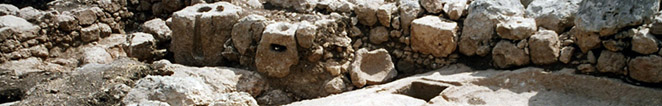
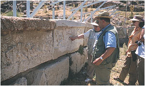
As a preliminary step towards this project, in the summer of 1998 we undertook archaeological and geographical field investigation in southern Turkey. The results were published last year by Ali M. Dincol, Jak Yakar, Belkis Dincol and Avia Taffet under the title "The Borders of the Appanage Kingdom of Tarhuntassa—A Geographical and Archaeological Assessment", Anatolica XXVI (2000) pp.1-29.
The project will cover the following regions: the central plateau, the West central plateau, the Aegean coast of Turkey, the Marmara basin, the Black Sea, the Highlands of eastern Anatolia including the upper Euphrates Valley, southeastern Anatolia west of the Euphrates (including the Amuq) and southeastern Anatolia east of the Euphrates. It will take us a few years—no less than seven—to accomplish this task and publish the Late Bronze and Early–Middle Iron Age data in a major book.
|
|
|